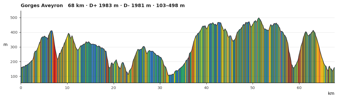
Reads Z from the geometry
Distance, ascent/descent and min/max come straight from your 3D track. A track without Z is filled from keyless terrain tiles, on by default.
A synchronized, themeable elevation profile control rendered with d3, reading elevation straight from your 3D GPX/GeoJSON and from keyless terrain tiles when they carry none.